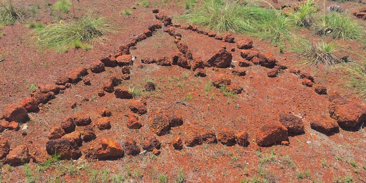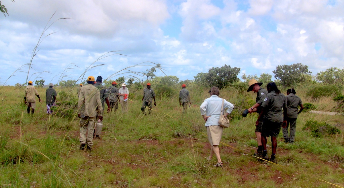

Earlier this year Dr. Campbell Macknight returned to Macassans Beach in East Arnhem Land, after a 50-year absence, to use current GPS technology to record 46 stone pictures created by Yolngu elders. Together with rangers studying Certificate II and III in Conservation and Land Management at Batchelor Institute, they were able to work to further protect these valuable cultural monuments.
These stone pictures tell the story of the Indonesian Macassan traders’ relationship with the Yolngu people. Campbell’s original data points and historical photos, dated from 1967, were used to locate all 46 pictures and to record an additional two.
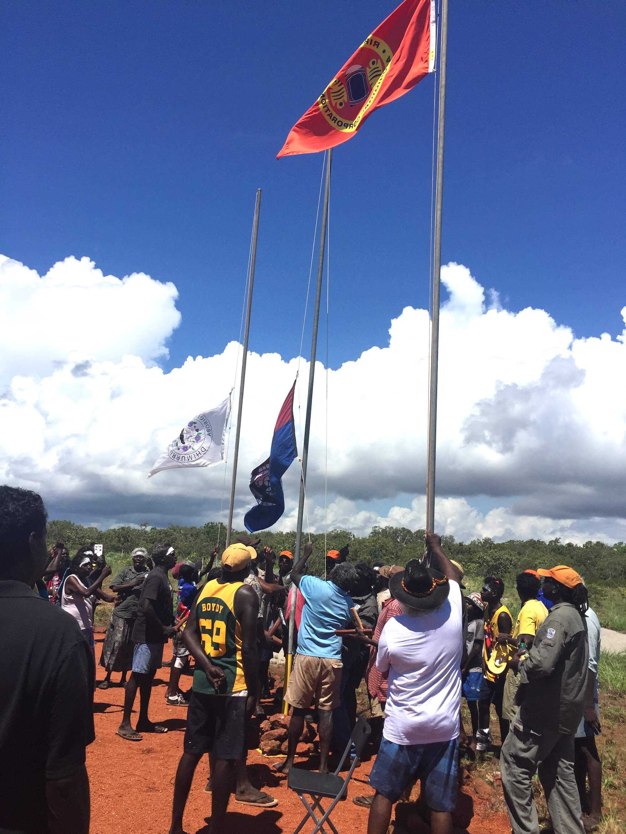
The area was fenced to protect the stone pictures from buffalos and vehicles. It was also recently given National Heritage status. The project was a part of an ongoing management plan in weed control and stone placement, which will ensure long-term protection.

This opportunity allowed Batchelor Institute Lecturer Dr. Cheryl O’Dwyer to train the Dhimurru rangers in how to maintain cultural places and record information about country.
“Dr. Campbell MacKnight, the archaeologist that initially recorded the site in 1967, explained his understanding of the stories from elders, and he also provided original photographs taken during his research. These photos and data points were used to help the rangers identify the location of stone pictures and to rehabilitate and restore the site for years to come,” explained Dr. O’Dwyer.
“As well as learning and completing the unit competencies towards their qualifications, I think the rangers also realised that western science valued their traditional knowledge. They could also see the value of recording information for the future, as some of the stories told to them, passed on by their elders, were slightly different to that told to Dr. MacKnight.”
The stone pictures provide a unique look into the trade between the Yolngu people of North Eastern Arnhem Land and the Indonesian Macassan traders that existed for several centuries until 1907, when the government began to use aggressive measures to collect customs duty. The Indonesians, mostly from Macassar in Sulawesi, came annually for trepang (Also named dharripa, beche-de-mer or sea cucumber), turtle shell, and pearl shell to sell to Chinese traders.
The traders acknowledged the Yolngu as owners of the land. Relations between Yolngu and Macassans were generally business-like and often friendly. Matthew Flinders, on his circumvention of Australia, met a fleet of Macassans in 1803 and spoke with a captain called Pobasso. He told him that two or three Yolngu usually sailed back each year with the fleet to Macassar and that some had stayed there.
The stone pictures were likely created by Yolngu elders at the end of the 19th century, so that future generations would know the history of the Macassan visits. The centuries of trade have resulted in a number of cross-cultural influences and exchanges of language, art and cuisine.
After attending the recent flag raising ceremony to celebrate the National Heritage listing of the site, Dr. O’Dwyer saw it as a perfect opportunity to engage Batchelor Institute students in maintaining cultural places and collecting information.
“This is a great example of how having close partnerships with ranger groups enables training to merge with the positive outcomes of the ranger organisations,” said Dr. O’Dwyer.

